| | Title | Description | Height | Width | File Size | |

| Dalchau Service Center | Location map of LCRA's Dalchau Service Center. | 11.0" | 8.5" | 1.3 MB |

|
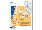
| Redbud Center Location | Location map of LCRA's Redbud Center with details on navigating major thoroughfares in the central Austin area. | 11.0" | 8.5" | 0.4 MB |

|
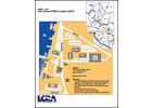
| General Office Complex Location | Location map of LCRA's GOC with details on navigating major thoroughfares in the central Austin area. | 8.5" | 11.0" | 0.4 MB |

|
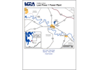
| Lost Pines Power Park | Location map of LCRA's Lost Pines Unit 1 and Sim Gideon power plants near Lake Bastrop in Bastrop County | 11.0" | 8.5" | 0.5 MB |

|
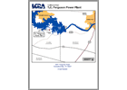
| Ferguson Power Plant | Location map of LCRA's Thomas C. Ferguson Power Plant on the south shore of Lake LBJ. | 11.0" | 8.5" | 0.5 MB |

|
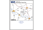
| Winchester Power Park | Location map of LCRA's Winchester power plant. | 11.0" | 8.5" | 0.3 MB |

|
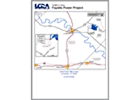
| FPP Location Map | Location map of LCRA's Fayette Power Project near La Grange, Texas. | 8.5" | 11.0" | 0.6 MB |

|
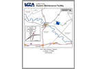
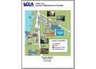
| Eastern Maintenance Facility | Location map of LCRA's Eastern Maintenance Facility in La Grange, Texas. | 8.5" | 11.0" | 0.8 MB |

|
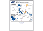
| Western Maintenance Facility | Location map of LCRA's Western Maintenance Facility. | 11.0" | 8.5" | 2.1 MB |

|
| General Office Complex Parking | Detailed map of parking at LCRA's General Office Complex near Tom Miller Dan off Lake Austin Blvd. | 11.0" | 8.5" | 2.7 MB |

|
